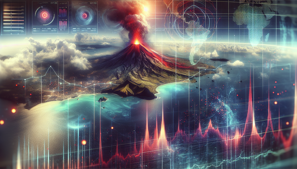
In the age of advanced technology, satellite imagery has become a crucial tool for monitoring geological events around the globe. Recent studies have revealed alarming patterns that suggest a potential volcanic eruption and consequent tsunami threats in certain regions. This article delves into the implications of these findings, the technology behind satellite monitoring, and what communities can do to prepare.
The Role of Satellite Data in Monitoring Volcanic Activity
Satellite technology has revolutionized our ability to observe and react to natural disasters. By providing real-time data and remote sensing capabilities, satellites help scientists to:
- Track changes in land elevation (ground deformation)
- Identify thermal anomalies from volcanic activity
- Monitor gas emissions and other geophysical data
This information is critical, as even minor changes in a volcano’s behavior can indicate an impending eruption. By analyzing these satellite images and metrics, researchers can identify high-risk areas and give early warnings to communities at risk.
Recent Findings on Eruptions and Tsunami Threats
Recent analyses of satellite data have indicated increased volcanic activity in both volcanic arcs and undersea volcanoes. According to the latest assessments:
- There is an uptick in volcanic tremors which may precede an eruption.
- Lava flow patterns and thermal hotspots have been detected in previously dormant volcanoes.
- Changes in groundwater temperatures and gas emissions point towards rising magma chambers.
Additionally, these volcanic activities can trigger subsequent tsunami threats due to:
- Underwater eruptions causing massive displacements of water.
- Collapse of volcanic islands into the ocean.
- Earthquakes associated with volcanic activity contributing to tsunami waves.
The Global Impact of Volcanic Eruptions
Volcanic eruptions can lead to devastating local and global effects. Areas near the eruption are often the most impacted, facing:
- Loss of life and property.
- Disruption of air travel due to ash clouds.
- Long-term environmental damage that can affect agriculture and biodiversity.
On a larger scale, the ash and gases released into the atmosphere can lead to changes in climate conditions, global cooling, and disruptions in weather patterns.
Case Studies of Past Eruptions and Tsunamis
To understand the potential consequences, we can look at historical examples:
- Kraken, 1883: The eruption of Krakatoa led to one of the deadliest tsunamis in history, causing over 36,000 deaths and global climatic effects.
- Tonga, 2022: The recent underwater volcanic eruption near the Tonga Islands resulted in shockwaves that were felt around the world and triggered flash floods in nearby regions.
- Montserrat, 1995: The Soufrière Hills Volcano erupted, displacing 75% of the island’s population and leading to significant property damage.
Early Warning Systems and Community Preparedness
With the lessons learned from past volcanic eruptions and tsunamis, the establishment of effective early warning systems is essential for saving lives. Here are some strategies that communities can implement:
- Real-time Monitoring: Utilize satellite data and ground-based sensors to monitor volcanic activity continuously.
- Public Awareness Campaigns: Educate residents about the signs of volcanic activity and tsunami threats.
- Evacuation Plans: Develop and regularly practice evacuation routes to ensure swift and organized leave in emergencies.
Moreover, collaboration between governmental agencies, local communities, and scientists plays a crucial role in enhancing preparedness and resilience against these natural threats.
The Future of Satellite Monitoring
The integration of new technologies and advancements in satellite imaging is expected to enhance our ability to predict volcanic eruptions and tsunami risks. Some promising developments include:
- Increased Resolution: Future satellites will have higher resolution capabilities, allowing for more detailed analysis of volcanic activity.
- AI and Machine Learning: Advanced algorithms can process vast amounts of data quickly, identifying patterns that even experienced scientists may miss.
- International Collaboration: Global partnerships are crucial for standardized monitoring practices and data sharing.
Conclusion
In conclusion, the insights gained from satellite data are invaluable in mitigating the risks posed by volcanic eruptions and potential tsunamis. As technology continues to evolve, the ability to predict and respond to these natural calamities will improve, leading to better preparedness and potentially saving thousands of lives. With increasing vigilance and community preparedness initiatives, we can face the challenges of nature with greater resilience.


